This locality is in southern Utah, 15 miles north of Page, AZ. The site is a small section of land controlled by the State of Utah.
The site borders the Escalante - Grand Staircase National Monument and the Glen Canyon National Recreation Area.
Collecting fossils of any kind on the federal lands is strictly prohibited.
It is legal to collect invertebrates on the land controlled by the State of Utah.
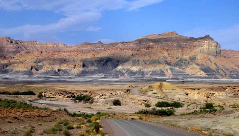
Tropic Shale
The Tropic Shale is the dark grey layer which begins at the base of the hard rock composing the steep cliff faces.
It extends downward and is extensively exposed in the eroded flats.
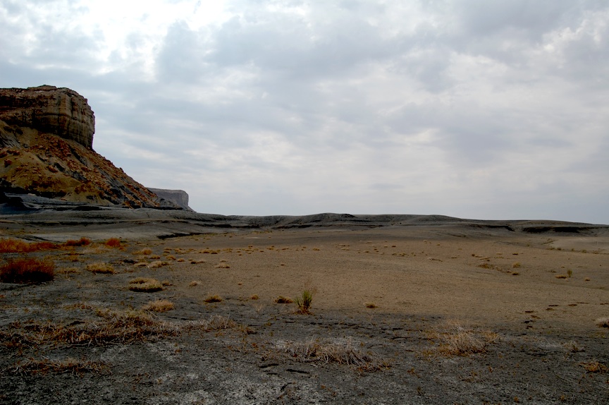
Eroded Flats
Most of the fossils are found in association with the oyster (Gryph) layers,
which are similar in appearance to the light brown area in the foreground of the photo above.
In some places, the oyster shells comprise the entire surface.
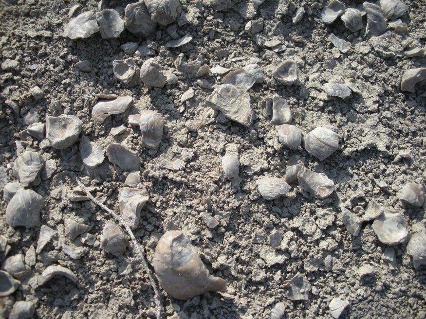
Oyster Layer
Common fossils in the oyster layer include small straight ammonite fragments (Baculites),
several species of gastopods and of course, oysters. Coiled ammonites and sharks teeth may also be found.
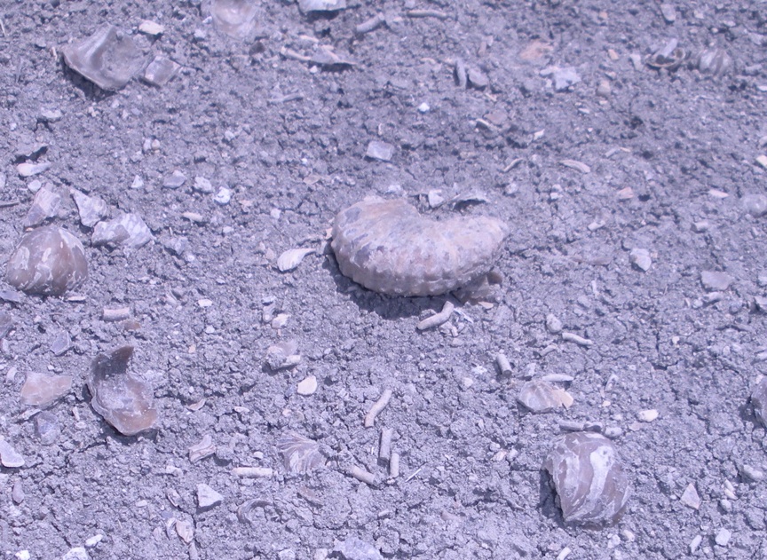
Fragment of a coiled Ammonite
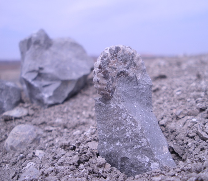
A more complete specimen
A larger and more complete example of a coiled Ammonite
Typical fossils of the Tropic Shale
One of the more sought after fossils here is the teeth of an ammonite munching shark called Ptychodus.
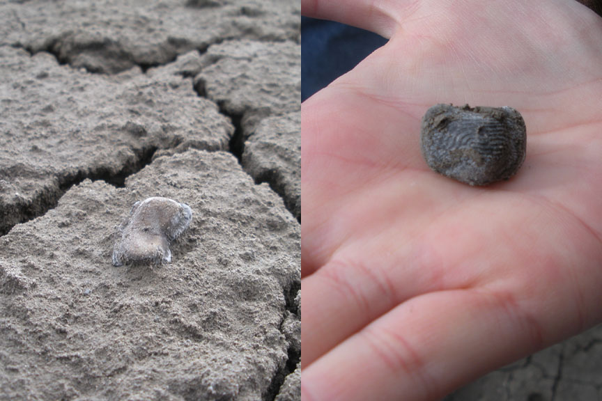
One day, I got lucky and stumbled across an exposure of 21 teeth in an area of about a square meter.
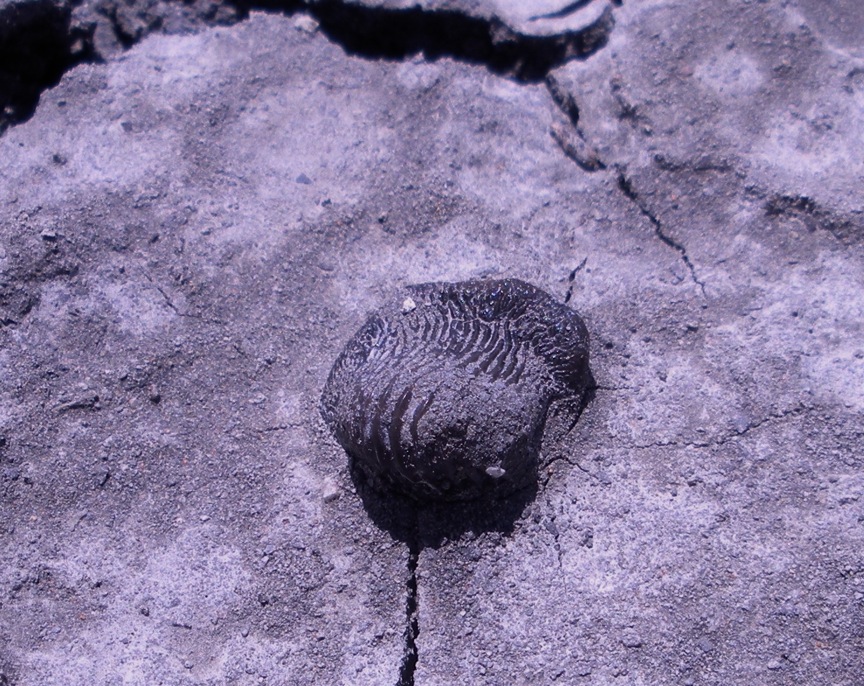
Ptychodus tooth in situ
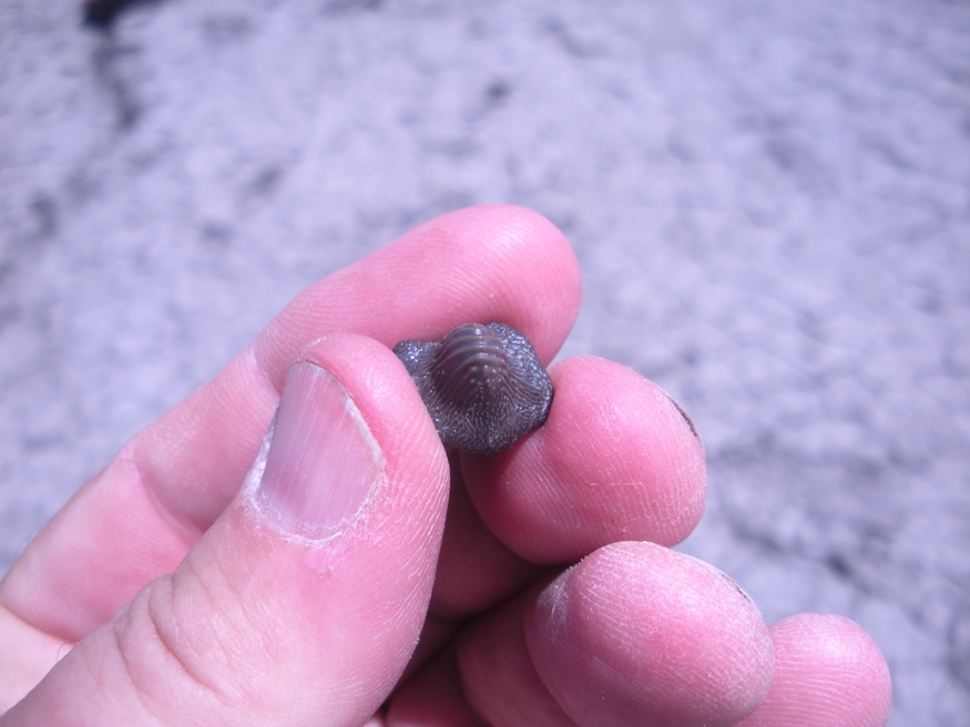
Ptychodus tooth in hand
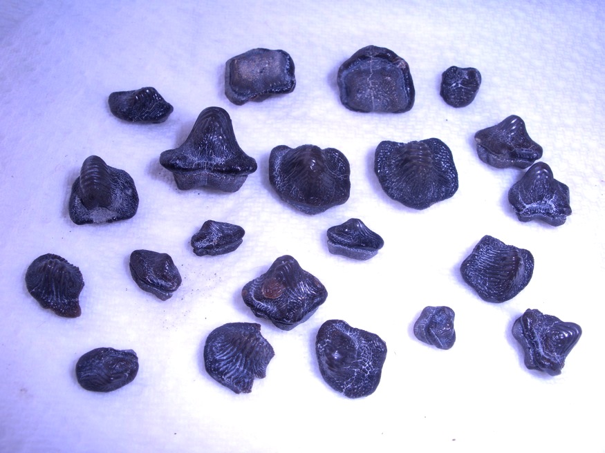
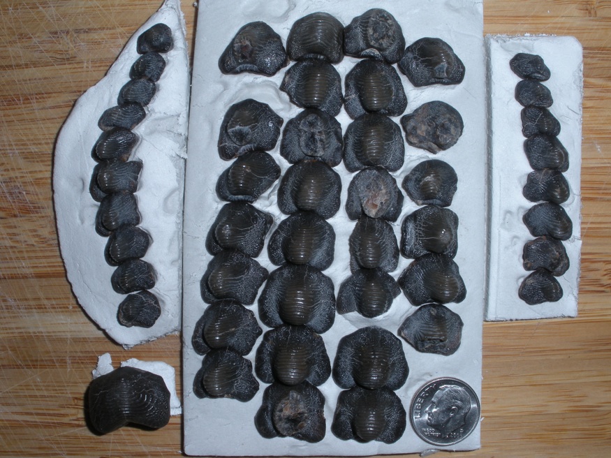
21 Ptychodus teeth
On a different trip, I found a single larger tooth.
All told, I have found over 50 Ptychodus teeth. They range in size from less than 1mm to 25 mm and can be found above the oyster layers.
They are not common but I have found more Ptychodus than pointed shark's teeth.
I spent a few hours trying to arrange them into a logical dentition pattern.
Another interesting fossil found outside the oyster layers is the remnants of a very
large ammonite, Mammites Nodosoides. These are found in the higher layers of the shale.
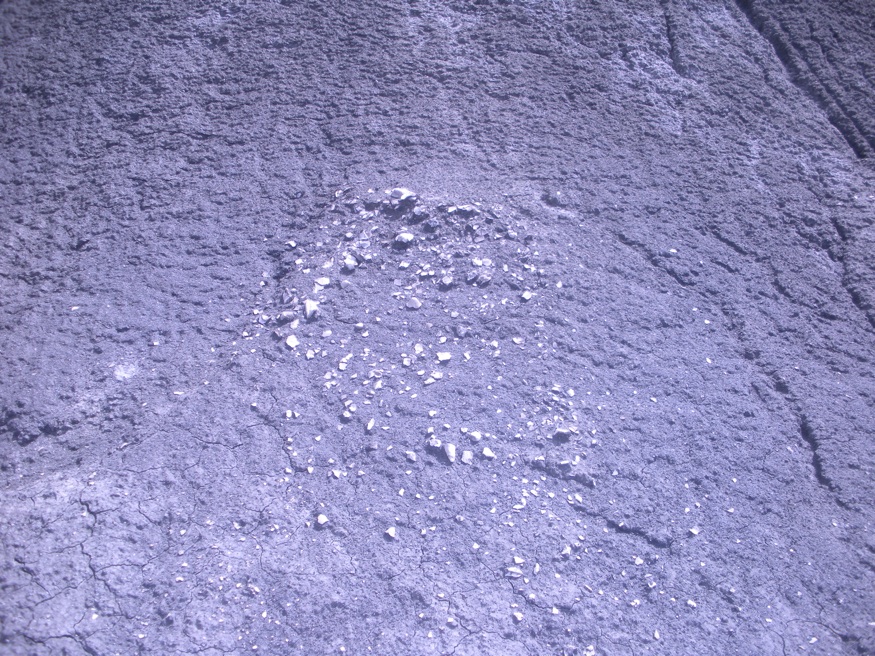
Mammites Nodosoides Exposure
The exposures consist of a bunch of white fragments in a loose circle about 24' in diameter.
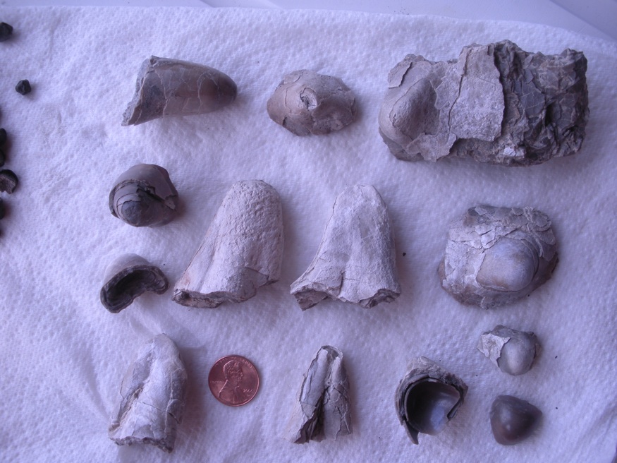
Mammites Nodosoides fragments
I did not know what they were until I showed them to Merle Graffam at the BLM visitor's center.
Merle has written an excellent handbook for the Tropic Shale but it is not currently in print.
Directions: Big Water is located on US 89, about 15 miles north of Page, and 50 miles east of Kanab.
The access road to the locality is the road going into Big Water, directly across the road from the Visitor's Center.
[ Big Water BLM Visitor's Center ]
The visitor's center is worth stopping at before going out to hunt. They have samples of the common fossils, maps and stuff.
After stopping at the Visitor's center, come back to 89 and go straight across past the market,
a couple of boat yards and turn right on Route 12 which is marked by a brown sign.
Follow Route 12 down and across the Wahweap river and continue east a mile or so.
(Caution: the river is typically dry enough for a passenger car but be careful.)
If you get to the sign denoting the Glen Canyon NRA, turn around and park 1/4 a mile back and you'll be good.
Collecting is permitted in the lands to up to the cliff faces where the Nat'l monument lands begin.
If you come in the summer, bring LOTS OF WATER (1 Gal each), SUNSCREEN and a BIG HAT.
No tools are needed and its a great place for kids.
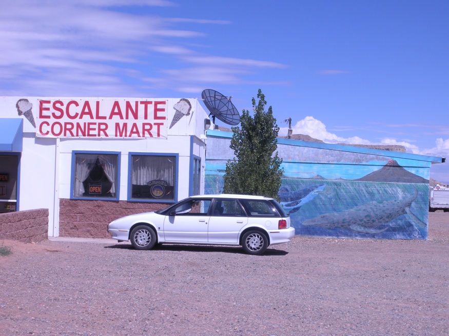
Enjoy a refreshing ice cream cone at the local market on your way in or out.
They have a small display of local finds.
Questions? E-Mail me: tngray@nautiloid.net
[Other Sites ] [ Fossil Page ] [ Home ]